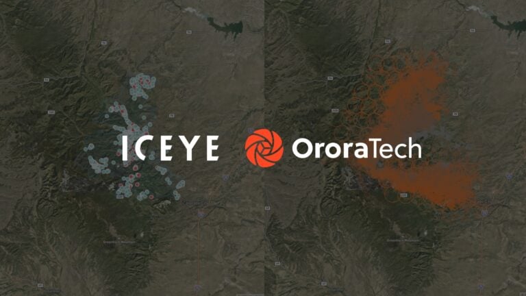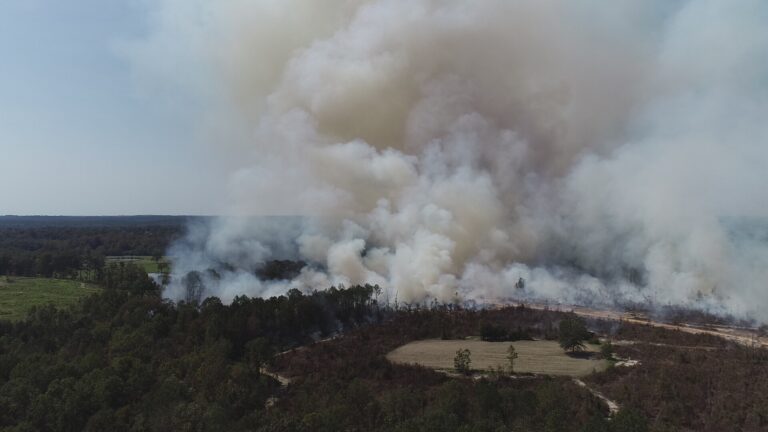


The Aspen Fire Protection District (AFPD), in partnership with the Aspen Wildfire Foundation (AWF), has introduced satellite based wildfire detection across the district and the Lincoln Creek Valley to strengthen early fire identification and monitoring.
The system uses OroraTech’s thermal imaging satellite network to detect potential wildfires and monitor fire activity in remote areas that have traditionally been difficult to observe.
Expanded coverage
The expansion was funded by the Aspen Wildfire Foundation through support from retired firefighter and paramedic George Newell. Working with the Independence Pass Foundation,
Newell helped secure funding to extend wildfire monitoring across the Lincoln Creek Valley and surrounding National Forest land.
George Newell said: “Wildfire doesn’t recognize jurisdictional boundaries. The Lincoln Creek Valley is a very important landscape for our community, and I’m proud to support technology that helps firefighters detect fires earlier and respond more effectively.
“Preventing catastrophic wildfire takes collaboration, innovation, and a willingness to invest in the future.”
The OroraTech system provides near real time thermal intelligence by identifying heat anomalies across large areas, allowing emergency responders to receive early alerts to potential wildfire outbreaks, including in difficult to access terrain.
Complementing existing monitoring
The satellite technology operates alongside the Aspen Fire Protection District’s existing Pano AI camera network, which provides continuous visual monitoring across other parts of the district.
According to the AFPD, combining satellite based thermal detection with ground based camera systems creates a more comprehensive early warning capability, helping firefighters identify and respond to emerging incidents more quickly.
Monitoring challenging terrain
Founded in Germany in 2018, OroraTech specialises in space based thermal intelligence for wildfire management.
The company launched its first satellite in 2022 and now operates a network of more than 40 satellites, including 19 owned by the company, providing thermal monitoring and wildfire detection in 22 countries.
Unlike conventional optical satellites, thermal imaging sensors can detect fires during both day and night and in areas where terrain or vegetation may limit other forms of monitoring.
The Lincoln Creek Valley has long presented challenges for wildfire detection because of its rugged landscape, dense forest cover and limited visibility from traditional monitoring systems.
The new satellite coverage is intended to provide firefighters with earlier intelligence to support rapid response before fires become more established.
Jake Andersen, Fire Chief of the Aspen Fire Protection District, said: “This investment represents exactly the kind of forward-thinking collaboration our community needs.
“Early detection is one of the most effective tools we have to reduce wildfire risk. Expanded satellite monitoring across our entire fire district and into adjoining landscapes helps us detect fires quickly, even in areas beyond the reach of our AI camera network.
“This strengthens our ability to protect residents, visitors, critical infrastructure, and our surrounding public lands by enabling faster, more effective response. We are incredibly grateful to George for making this possible.”