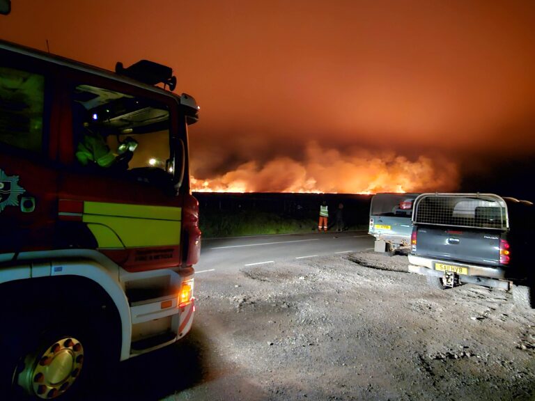
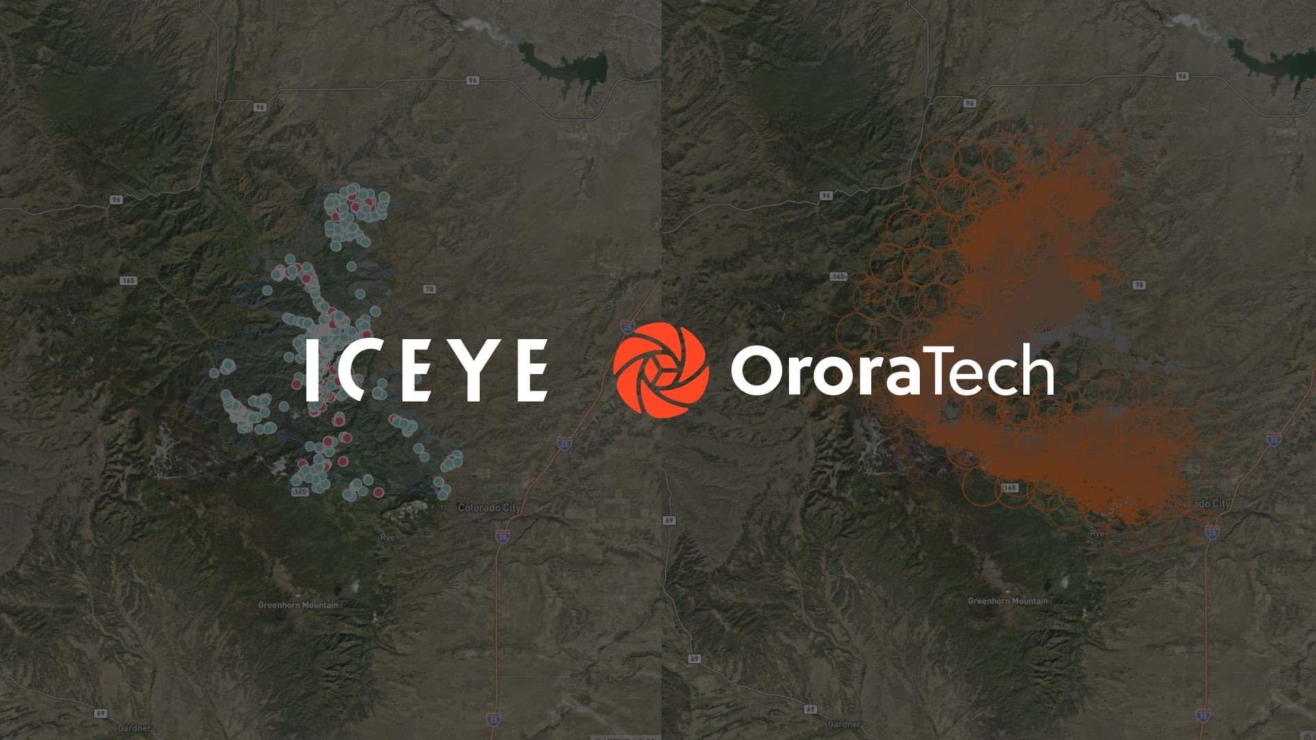

ICEYE and OroraTech have announced a partnership to combine satellite technologies for wildfire detection, monitoring and damage assessment.
The collaboration integrates OroraTech’s thermal satellite intelligence with ICEYE’s synthetic aperture radar (SAR) capabilities, providing information throughout the lifecycle of a wildfire.
The companies aim to support governments, emergency services, utilities and insurers with more comprehensive information about developing fires and their consequences.
Combining thermal and radar intelligence
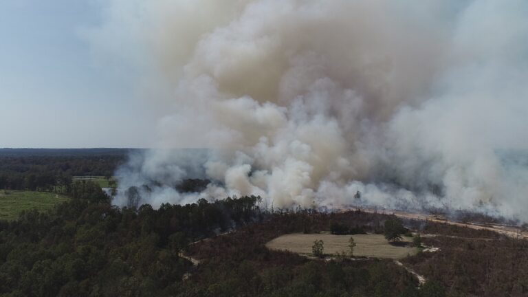
OroraTech’s thermal satellite technology identifies emerging hotspots and monitors active fire fronts, helping organisations track wildfire development.
ICEYE’s SAR satellites provide observations through smoke, cloud cover and darkness, enabling assessment of damage to buildings and infrastructure during an incident.
Combining these capabilities is intended to provide a more continuous understanding of fire progression and its impact on surrounding communities.
Supporting emergency response decisions
The integrated system is designed to deliver information during both daytime and night time operations, including conditions where conventional optical imagery may be restricted.
Emergency management organisations could use the intelligence to position resources, inform evacuation priorities and coordinate responses between agencies.
The companies also identify potential benefits for communities and infrastructure located where developed areas meet wildfire prone landscapes.
Assessing infrastructure and property damage
Utilities could use the combined observations to identify threats to electricity infrastructure and prioritise operational responses.
For insurers, the technology could support exposure monitoring, damage assessment, claims processing and deployment of assessment personnel.
ICEYE’s radar observations can provide information about building level impacts while a wildfire remains active.
Improving access to wildfire intelligence
The partnership aims to replace separate monitoring systems with a shared timeline of wildfire development and associated damage.
According to the companies, the combined technology could support damage assessments for disaster declarations within 24 hours, compared with processes that may otherwise take weeks.
The collaboration is intended to improve the availability of timely information throughout wildfire response and recovery operations.
Will Panchaud, Senior Director of Product Management, Solutions at ICEYE, said: “Wildfires are dynamic events, and the intelligence decision-makers need to evolve with them, from understanding where a fire starts and how it is progressing to what may be in its path and what has ultimately been impacted.
“Bringing OroraTech’s thermal intelligence together with ICEYE’s SAR capabilities allows us to provide that full-lifecycle view across both the wildland and built environment in one spaceborne solution, giving decision-makers a more complete picture to act on throughout an event.”
Dr. Ignacio Zuleta, Chief Technology and Product Officer at OroraTech, said: “The earlier organisations can detect and understand a wildfire, the more time they have to make informed decisions as conditions evolve.
“Our thermal satellite intelligence provides that critical visibility from the earliest stages of an event, detecting hotspots and tracking fire activity as it develops.
“By bringing that intelligence together with ICEYE’s SAR capabilities, we can help decision-makers maintain a more continuous understanding of a wildfire, from first detection through its impact on communities, infrastructure and the surrounding environment.”