
The Alabama Forestry Commission is using satellite based wildfire intelligence from OroraTech USA to strengthen the monitoring of prescribed burns and support wildfire response across the state.
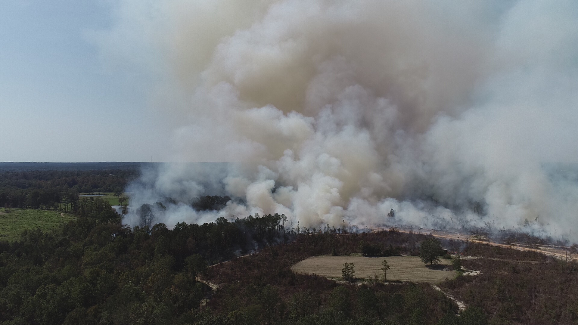
The technology provides officials with additional information about fire activity, helping identify potential escapes from prescribed burns and assess where emergency response resources may be required.
Wildfire activity increases
Wildfires had burned more than 30,000 acres across Alabama by the middle of September this year.
This compares with approximately 35,000 acres during the whole of 2025 and nearly 21,000 acres during 2024.
Prescribed burning is used to manage vegetation and reduce accumulated fuel that could contribute to the development and spread of wildfires.
However, prescribed fires require monitoring to help ensure they remain within designated boundaries.
Monitoring prescribed burns
OroraTech’s satellite based thermal intelligence provides the Alabama Forestry Commission with additional visibility of fire activity.
The information can help officials identify potential escapes, assess developing incidents and determine where and when a response may be necessary.
The deployment forms part of growing interest in using satellite based information to support wildfire management and emergency response.
Satellite wildfire intelligence
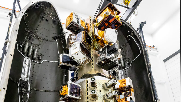
OroraTech operates a satellite constellation dedicated to wildfire detection and monitoring.
Its Wildfire Solution combines information from the company’s proprietary network of 19 satellites with data collected by more than two dozen publicly operated satellites.
Together, these sources provide near real time intelligence about wildfire activity.
The Alabama deployment will support the Forestry Commission’s existing approach to prescribed fire monitoring and statewide wildfire response by providing another source of information about developing fire conditions.
Alabama State Forester Rick Oates said: “Adopting the latest technology helps us detect and respond to wildfires more efficiently while improving safety for our firefighters and the people of Alabama.
“OroraTech gives us another tool to help protect lives, property, and Alabama’s forest resources.”
AFC Protection Division Director John Goff said: “The way we detect wildfires has changed a lot over the years. We’ve gone from lookouts watching for smoke from fire towers to using aircraft and drones, and now we’re adding satellite technology.
“The sooner we know where a fire is, the sooner we can get resources headed that way. We’re glad to be working with OroraTech to put this technology to work for Alabama.”
Thomas Gruebler, Co-Founder of OroraTech and CEO of OroraTech USA, said: “Our vision is to work closely with fire management agencies to continually advance our products and satellite technology around how they operate, providing intelligence that fits directly into their decision-making workflows.”
Stephen Maisonet, Sales Director of OroraTech USA, said: “In Alabama, that means giving the Forestry Commission greater situational awareness across the state, helping teams triage incidents as they emerge, monitor multiple fires simultaneously, and prioritise personnel, aircraft, and other resources where they are needed most.”