

TracPlus Labs has developed a working paper exploring how water availability across the United States could affect aerial firefighting capability and coverage.
The research focuses on the distance between incidents and suitable water sources, recognising that firefighting aircraft may complete repeated drops and reloads during an operation.
According to TracPlus, two identical aircraft could therefore deliver significantly different quantities of water depending on the proximity of suitable reload locations.
Millions of water bodies analysed
The TracPlus Labs team used data science and machine learning expertise to develop a supporting geospatial dataset.
A programme analysed approximately 5.7 million water bodies contained within the United States Geological Survey national map of surface water.
It measured characteristics including size, length and width to determine whether each location could potentially provide a suitable reload point for different aircraft classes.
Helicopter and scooper locations identified
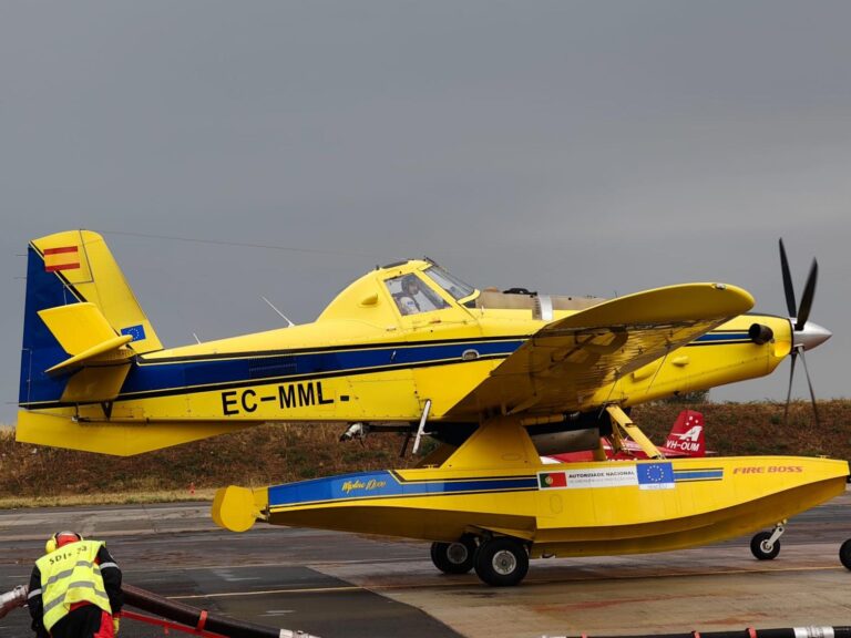
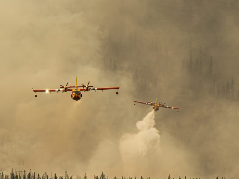
The resulting national layer records water body dimensions and identifies potential suitability for helicopters, Fire Boss aircraft and CL 415 aircraft.
Around 3.6 million water bodies were identified as potential helicopter reload locations, while approximately 57,000 could potentially support fixed wing scoopers.
Scooper capable locations were unevenly distributed, with concentrations across northern states and the reservoir heavy West, while drier areas had fewer potential locations.
Operational checks remain essential
TracPlus stressed that the dataset considers only the mapped shape of each water body.
It does not assess depth, current water levels, obstacles, access or whether individual locations are approved for operational use.
A positive result therefore identifies a candidate for further assessment rather than confirming that the location is suitable for firefighting operations.
Measuring delivery capability
The research could enable aerial firefighting coverage to be assessed according to potential water delivery rather than aircraft reach alone.
This includes examining where reload distances could restrict response capability and informing decisions about where rotary and scooper aircraft should be based or pre positioned.
The dataset can also feed into standards of cover analysis.
Built entirely using public data, the working paper is being shared openly and is the first of several planned TracPlus Labs projects examining aerial firefighting capability and coverage.