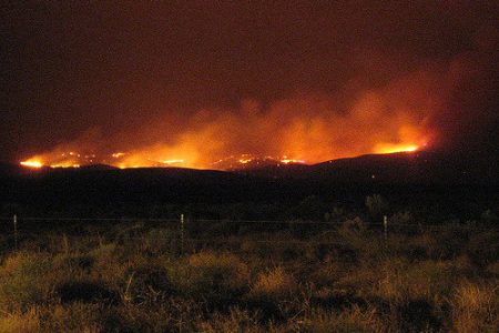
ASEAN forest fires set to be monitored by UK satellites
In order to help countries in Asia tackle – amongst other things such as illegal fishing and dengue – forest fires, the UK Space Agency will use satellite imagery and earth observation data to assist the continent.
The agency works with governments from all corners of the globe through its International Partnership Programme, and seeks to improve disaster response of infectious disease management, as examples.
The agency will use their satellites to map dry peat conditions in Malaysia and Indonesia, due to the fact that forest fires frequently occur over drained peatland areas. With data on water levels in the peatlands, authorise will be able to make decisions to mitigate the risk of fires.
£11m ($15.3m) has been put aside by the agency for this project and two others, though they will be finding 10 projects in total, which will amount to £38m ($52.9m).
“The UK Space Agency’s International Partnership Programme will help developing countries tackle big issues like disaster relief and disease control, while showcasing the services and technology on offer from our leading space businesses,” UK Minister for Universities, Science, Research & Innovation Sam Gyimah said in a statement.


